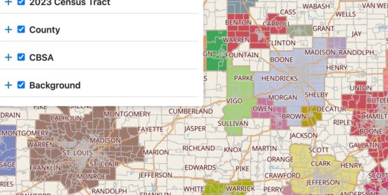
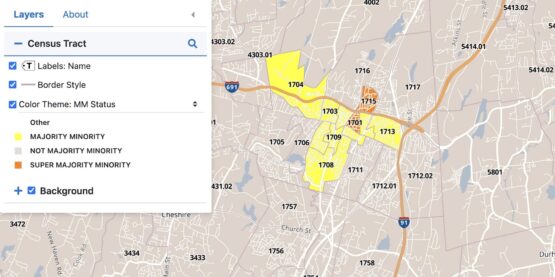
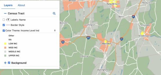
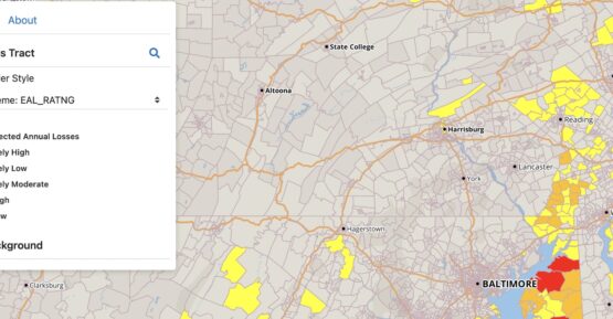
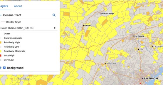
GeoDataVision (GDV) provides these maps to the public free of charge; users assume full responsibility and risk associated with their use. GDV is not responsible or liable for any inaccuracies in geocoding, errors in the maps, or misuse of the provided data. Many of these maps include historical information and may not reflect the most current data available. For access to the latest and most accurate Community Reinvestment Act (CRA) and Fair Lending maps and reports, GeoDataVision now offers a subscription service. Find out more here!
© copyright 2024. All Rights Reserved

