CRA Assessment Area Maps
As required by CRA Regulation §_.41 your public file must be updated to include a map reflecting the current tracts.
Now, with the release of the new 2024 tract income classes every bank in the USA must update their public file maps!
If you have not already done so, you must have new CRA tracts reflected in your public file map to comply with the Regulation no later than April 1!
Get your regulatory grade AA map from GeoDataVision today.
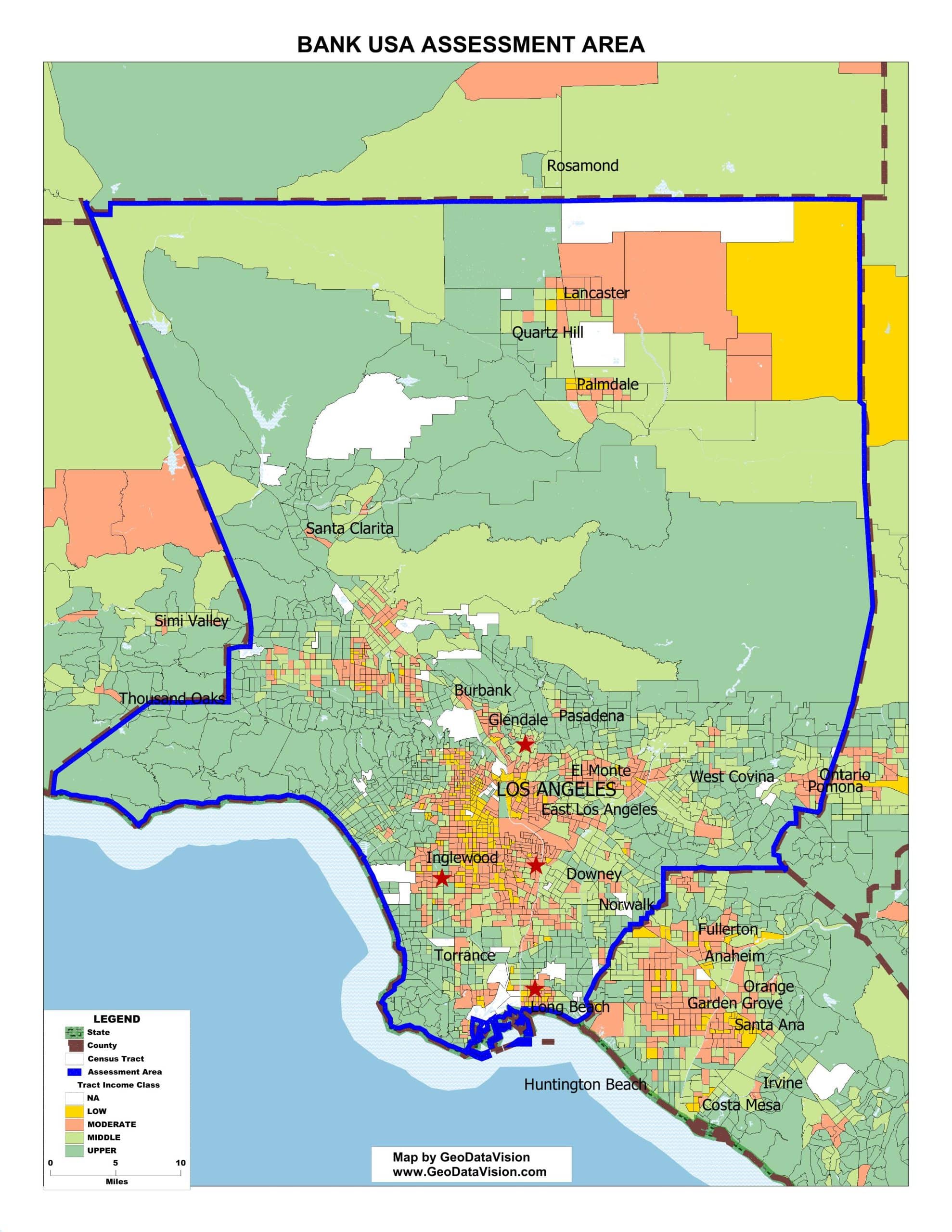
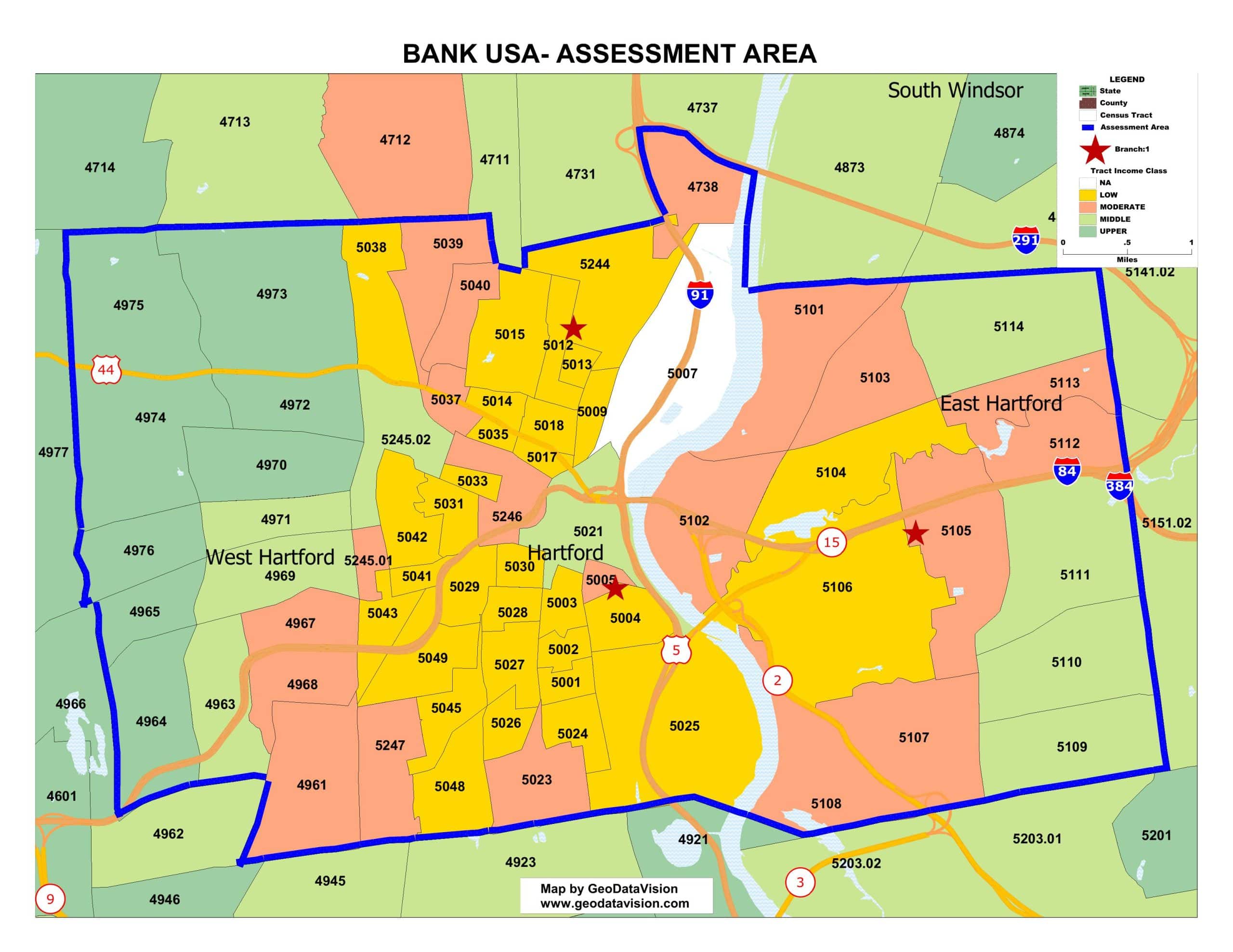
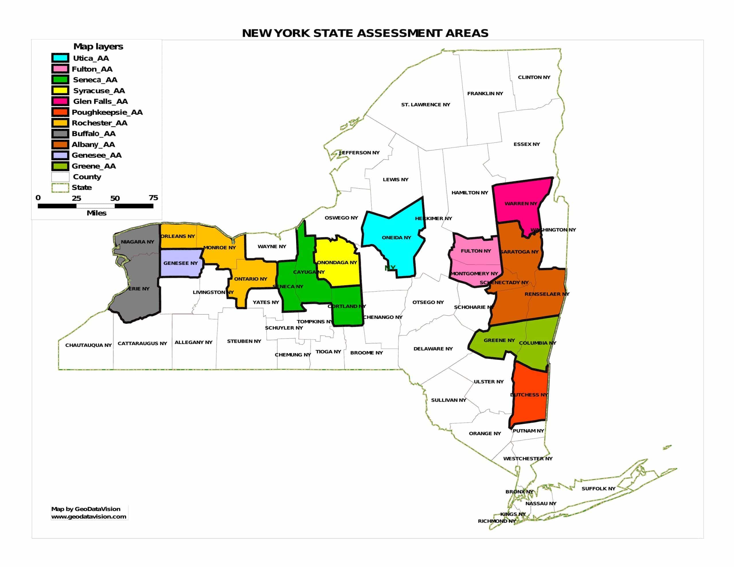
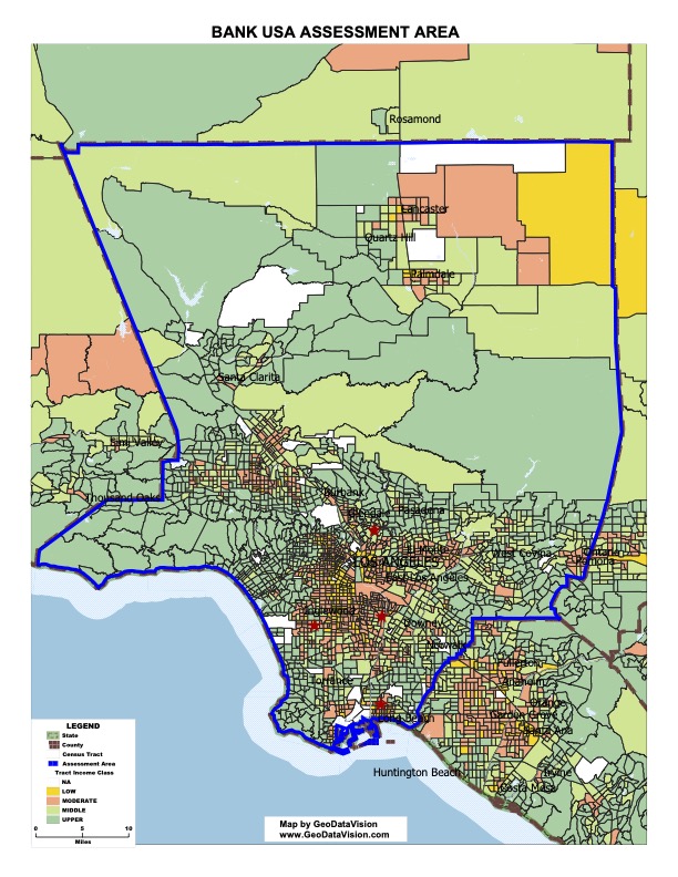
This component includes a map delineating your Assessment Area boundaries, depicting key towns and cities and revealing census tract income classes by color themes that distinguish Upper, Middle, Moderate and Low-income tracts. The map meets all regulatory standards.
For only $240 you'll receive the following with your assessment area map order. Discount apply to multiple assessment areas:
- Regulatory Grade CRA Assessment Area Map
- Excel list of the census tracts, their income classifications, and minority status
- FREE tract comparison table- compare the old vs the new census tracts in your assessment areas including the tract income classifications and tract minority status!

Need help?
Prefer speaking with a human to filling out a form? Call our corporate office and we will connect you with a team member who can help.
(203) 907-7497
© copyright 2024. All Rights Reserved
