Unlock Your Institution’s Full Potential with GeoDataVision's Dynamic Online Maps Package for Financial Institutions!
Are you looking to get ahead in the highly competitive financial industry? GeoDataVision's Dynamic Online Maps Packages for Financial Institutions are your key to unlocking new opportunities and enhancing your institution's compliance and community outreach efforts.
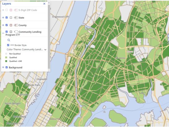
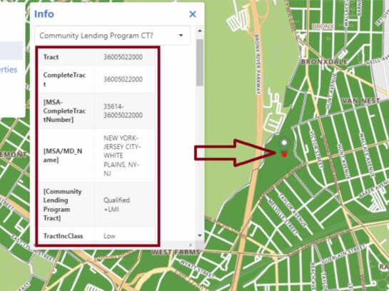
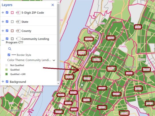
These maps help institutions easily identify areas targeted for investor Community Lending Programs. Our innovative, user-friendly, online maps help financial institutions pinpoint key census tracts that are crucial for CRA (Community Reinvestment Act), Fair Lending, and Special Purpose Credit Programs. With hundreds of data points at your fingertips, you can explore and understand your market like never before, ensuring that you not only meet but exceed regulatory expectations.
Why Choose GeoDataVision’s Dynamic Online Maps?
- Eligible Lending Program Census Tracts: Easily identify census tracts with specific characteristics targeted for investor Community Lending Programs.
- Gain a Competitive Edge: Obtain key data points in the areas that matter most to your institution, allowing you to tailor your strategies for maximum impact.
- Serve Your Community: Deepen your understanding of the communities your institution serves, especially the low-and moderate-income and minority areas, aligning your market strategy and services with the core pillars of CRA and Fair Lending Laws.
- Enhance Decision-Making: Make informed decisions with access to comprehensive data that is built into the maps, saving time, and ensuring your institution is always one step ahead.
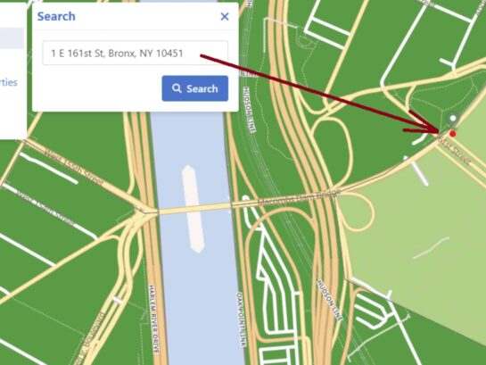
- Easy to Use: Our online maps are easy to operate, even with little to no prior mapping experience, and they are impossible to break.
Don't just meet compliance expectations— exceed them and lead your market with confidence and clarity. GeoDataVision's Dynamic Online Maps Package empowers you to see your market in a whole new light.
Online Maps Packages starting at: $500/year


© copyright 2024. All Rights Reserved

